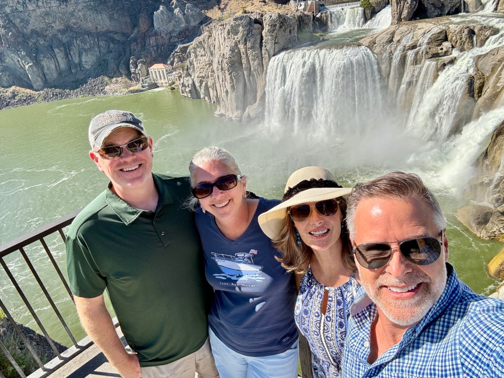
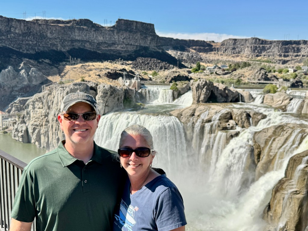
We had a blast earlier this week visiting friends in southern Idaho! Had a really good time with Michael and Therese and they were absolutely tremendous hosts! If you’re ever in the area of Buhl, ID and have need of an outstanding AirBnB, look no further!
First, about the area we were in, let’s zoom out for a moment. Way out.
Basically, this is high desert. But it’s not totally arid, the ground is certainly fertile. Lots of agriculture on what otherwise would have just been a relatively flat, very wide plane. Lots of fresh water readily available because the area sits on top of an aquifer comprised of basically old old old lava. It’s stuffed with water so the irrigation has been simple as the city has developed over the centuries, and there are several large geothermal plants that make power where the water really flows out. Big challenge as the city grows though.
Here is the really cool part though; they figured out that 10,000 – 15,000 years ago, there was a huge lake on the plain. How they “know” this, I’m not sure. Did they find a 15,000 year old highway sign from before the flood, or something? 🤔 Anyway, we’re talking a HUGE lake. Lake Bonneville sat in what is now the Great Salt Lake Basin. But it was way bigger. 32,000 sq miles. The size of South Carolina. Bigger than Lake Superior.
So, what I am saying, is it was big.
And the natural dam that had contained the lake gave way.
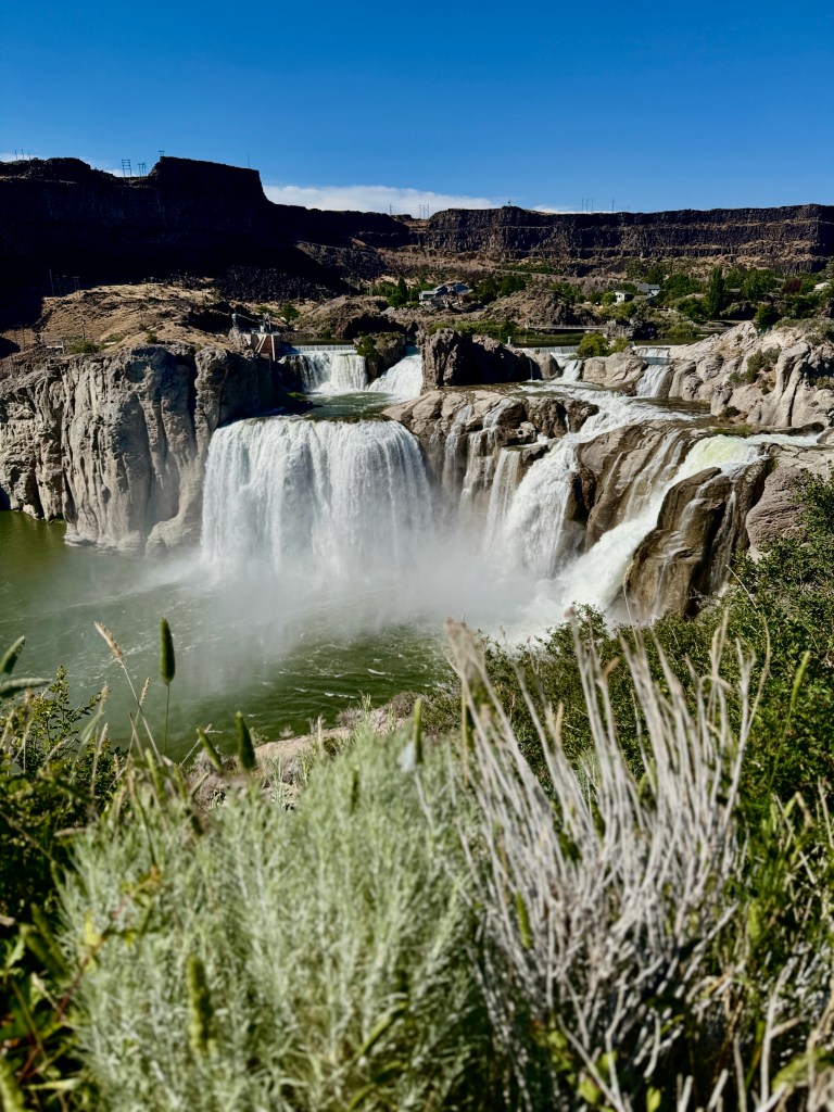
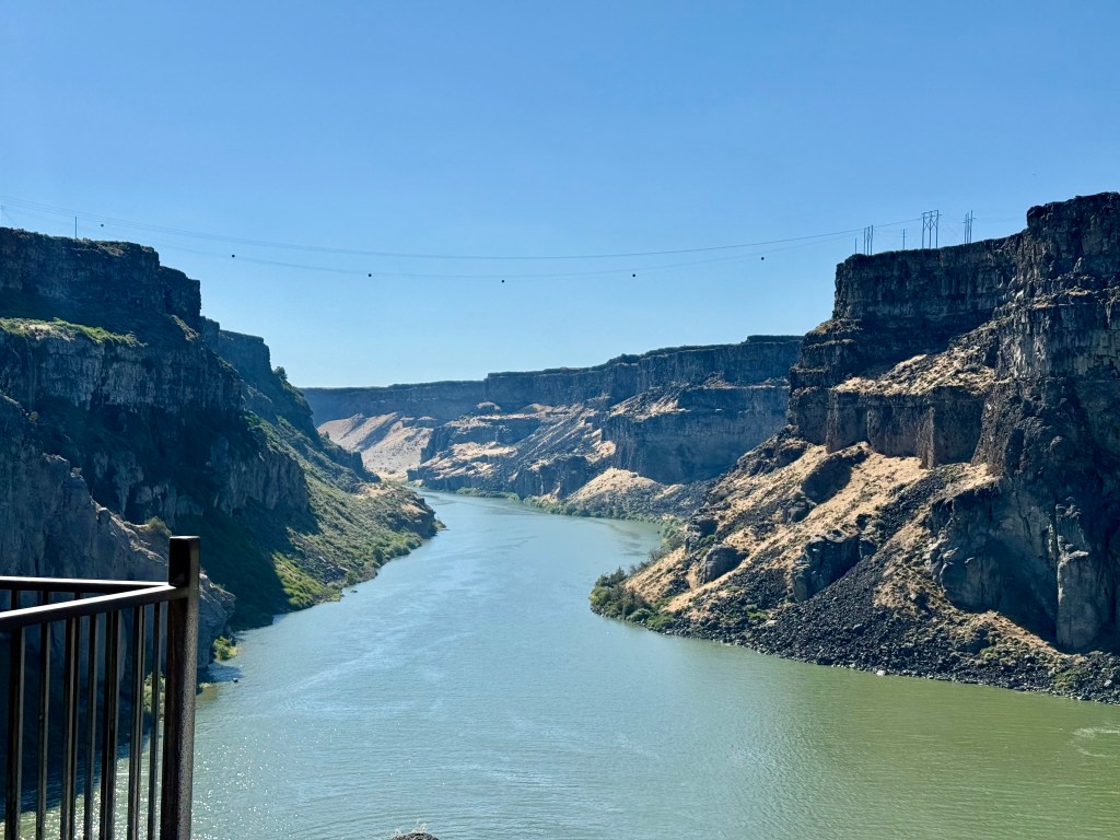
They figure a 410 foot tall wall of water ripped down through the river valley below at 70 mph. At its peak, 33 million cubic feet per second of water flowed across the Snake River Plain. It ripped along, wide open, for 6 weeks (Again, how do they know this?) and then slowed to merely a massive torrent for another year. They’re guessing 380 cubic MILES of water. And it carved out this massive canyon for a long long way downhill, and left rich, fine, crushed lava, silt, and organic stuff to line the valley, while the solid cliffs stood sharply on either side. And the plump aquifer that had lain quietly beneath the topsoil and surface material was now just rent wide open, its capillaries and arteries and veins all severed at the new breach, and waterfalls have just gushed out to fall to the wide, rocky, snake river far below.
Did I say that this thing is 600 feet deep?!!
Waterfalls taller than Niagara Falls (by 15 feet, but still)
There is a bridge here where it’s legal to BASE jump / parachute off of it, and people do. Sadly, people also jump to their certain deaths from this bridge.

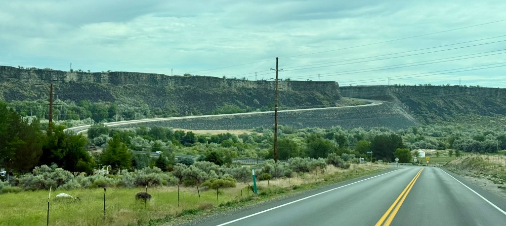
It’s a pretty low key group of mostly life long Idahoans and Covid-inspired transplants from the usual places, who populate this thriving community atop the two, now opposing cliff sides, both looking down on a wide, green, lush, valley far below with a meandering, wide river. The entire community is solidly perched upon this crack, and the residents casually drive up and down the many graded and twisty roads to go in to or out of the canyon. It’s just so normal. All ag, most commercial and industrial stuff, and most retail, is up on the plains above. Lots of residences and some light commercial like restaurants and gas stations, and marina are down in the valley.
Honestly, if this hadn’t blown up in to a town centuries ago, as it was a fantastic place to hunt, fish, be protected from the elements, this would 100% be a national park.
Hydroelectric generators and power stations run off of the water pouring down the falls or gushing out of the ripped open capillaries from the aquifer and they power EVERYTHING and almost everyone has a spring somewhere close by for fresh water. At least in the valley.
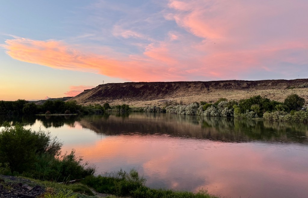
As the Snake River winds its way downhill towards Washington State, it is still a very wide and fast moving river, but due to the way it was formed, it is also very rocky. Rocky to the point where no one has a boat with any kind of hull depth or draft, as it would crash on the barely submerged rocks, where only the locals can safely navigate. Kayaks and jetskis are everywhere. It is a beautiful river to explore, as there are many falls, and quiet coves tucked in where rock was rapidly deposited during the flood.
Industry has also taken a good foothold here as well. We saw lots of ag on the plains and in the valley. Clif bars are made here. Chobani yogurt is made here (barf). There are also a bunch of trout farms that sell to big time restaurant chains.
It’s such a neat place.
You definitely should not go (say the locals lol). Yuck.
Secretly, we loved Idaho but we’ll respect the locals and not dish all their beautiful secrets to the four people that read this haha. Idahosanites are just fine with everyone believing that Idaho = POTATOES 🥔
